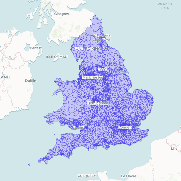
Geographic boundary dataset for the 2021 Middle Layer Super Output Areas (MSOA) in England and Wales. MSOAs are a core geography used by the Office for National Statistics for the reporting of small-area statistics, designed to have a stable population size between 5,000 and 15,000 residents.
Showing 10 of 7,264 rows — open the Table tab for the full, sortable dataset.
We use cookies to improve your experience. Read our privacy policy.