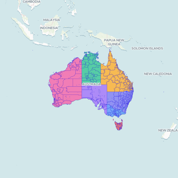
A comprehensive dataset of the 2021 Indigenous Structure from the Australian Statistical Geography Standard (ASGS). It defines the boundaries and names for Indigenous Locations (ILO), Indigenous Areas (IAR), and Indigenous Regions (IRE) across Australian States and Territories.
Showing 10 of 1,120 rows — open the Table tab for the full, sortable dataset.
We use cookies to improve your experience. Read our privacy policy.