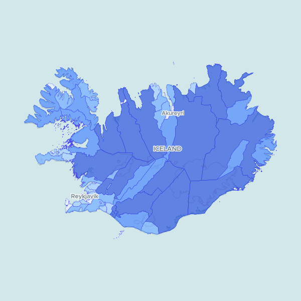
Geographic boundaries and calculated surface area for the 61 municipalities of Iceland, providing precise land measurements in square kilometers.
Calculated the land area for each Icelandic municipality using boundary data from the prepared GIS dataset. The process involved measuring the area on a spheroid to ensure accuracy across Iceland's terrain and rounding the results to square kilometers.
Showing 10 of 61 rows — open the Table tab for the full, sortable dataset.
We use cookies to improve your experience. Read our privacy policy.