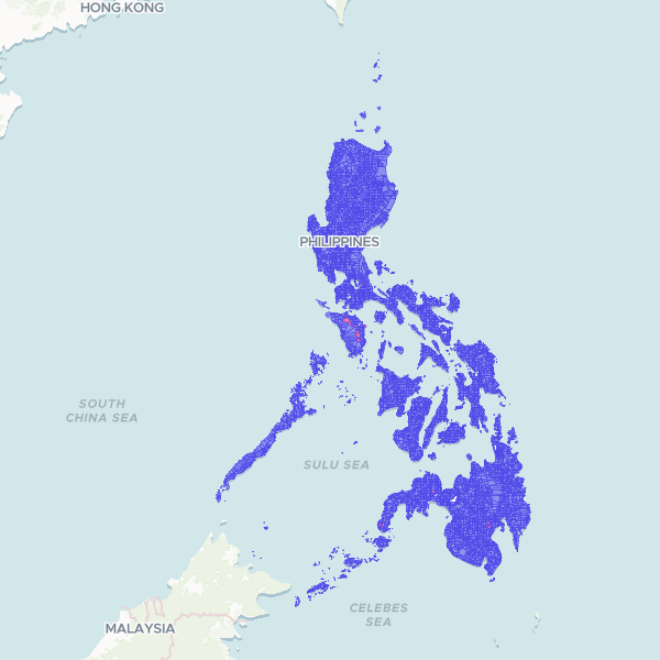
Official administrative and census boundaries for the Philippines at the barangay level. This dataset includes standardized geographic codes (PSGC) and Humanitarian Data Exchange (HDX) P-codes for all 42,022 barangays, facilitating spatial analysis and humanitarian response mapping.
Showing 10 of 42,022 rows — open the Table tab for the full, sortable dataset.
We use cookies to improve your experience. Read our privacy policy.